No rain till we were done
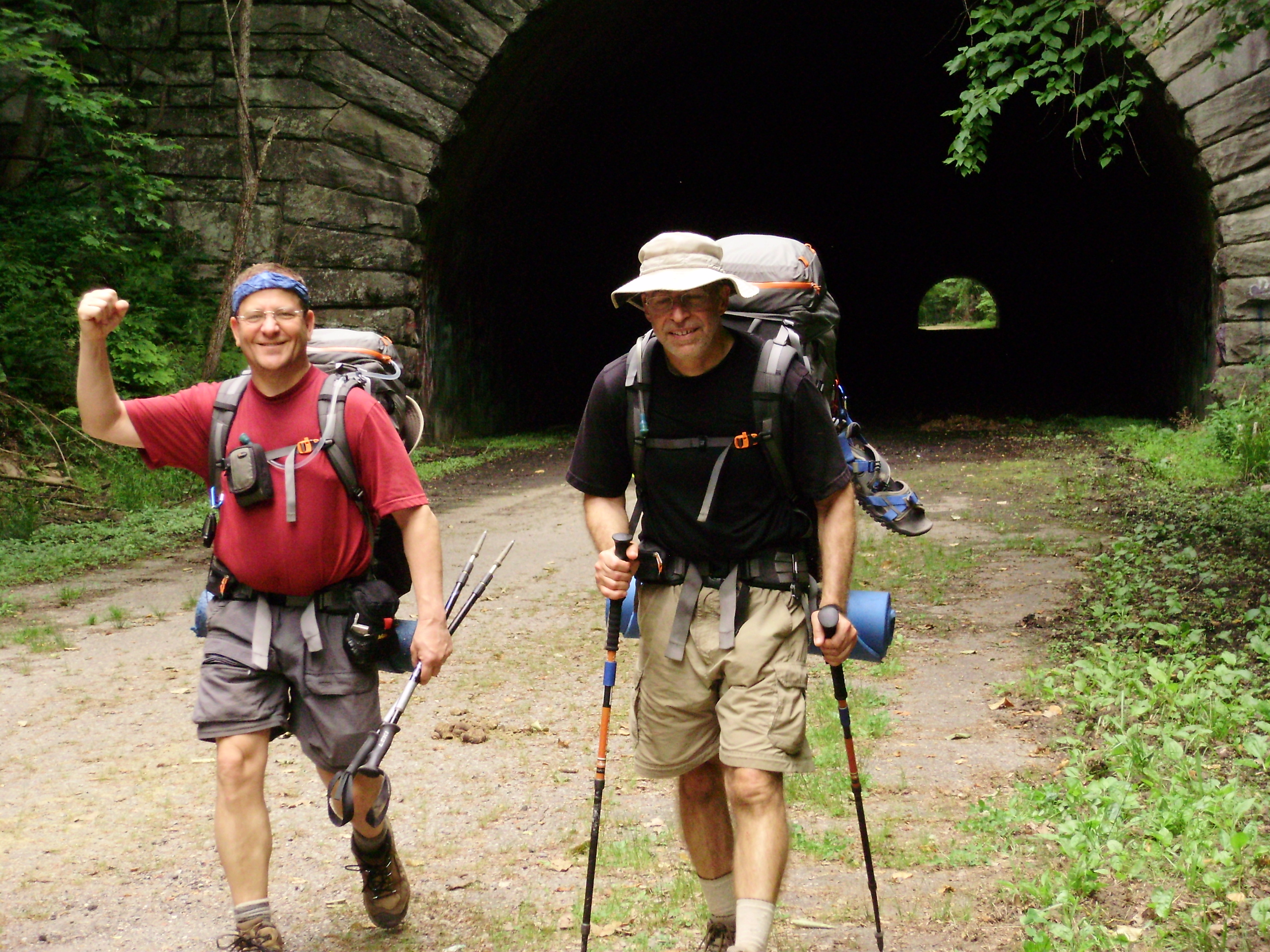
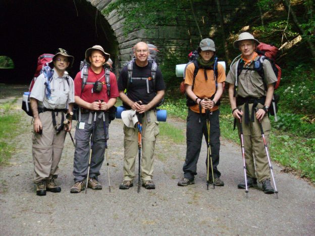
Backpackers: Carl Fisher, Mark Schedler, John Gundry, Joe Gundry, Ed Tucker
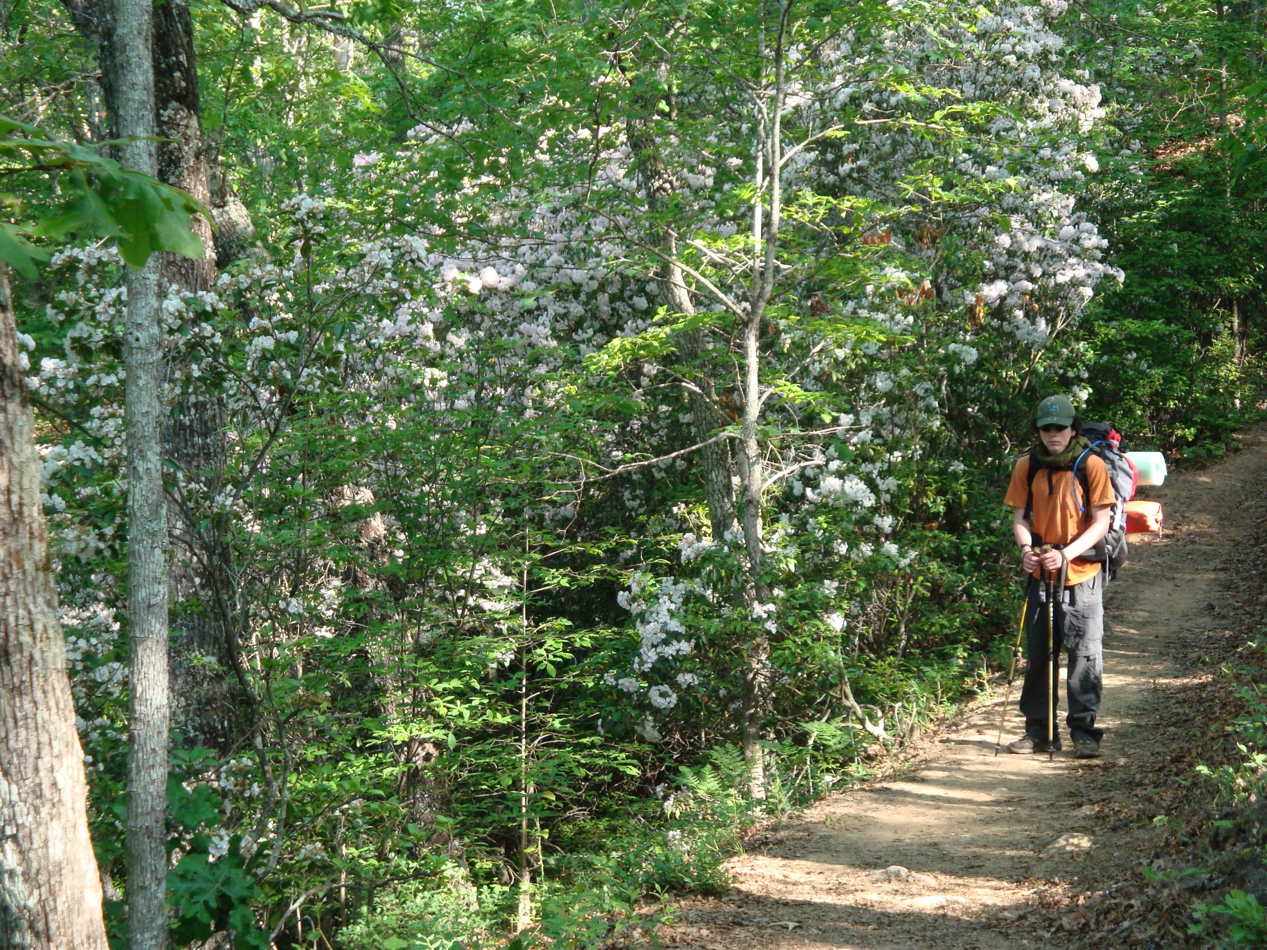
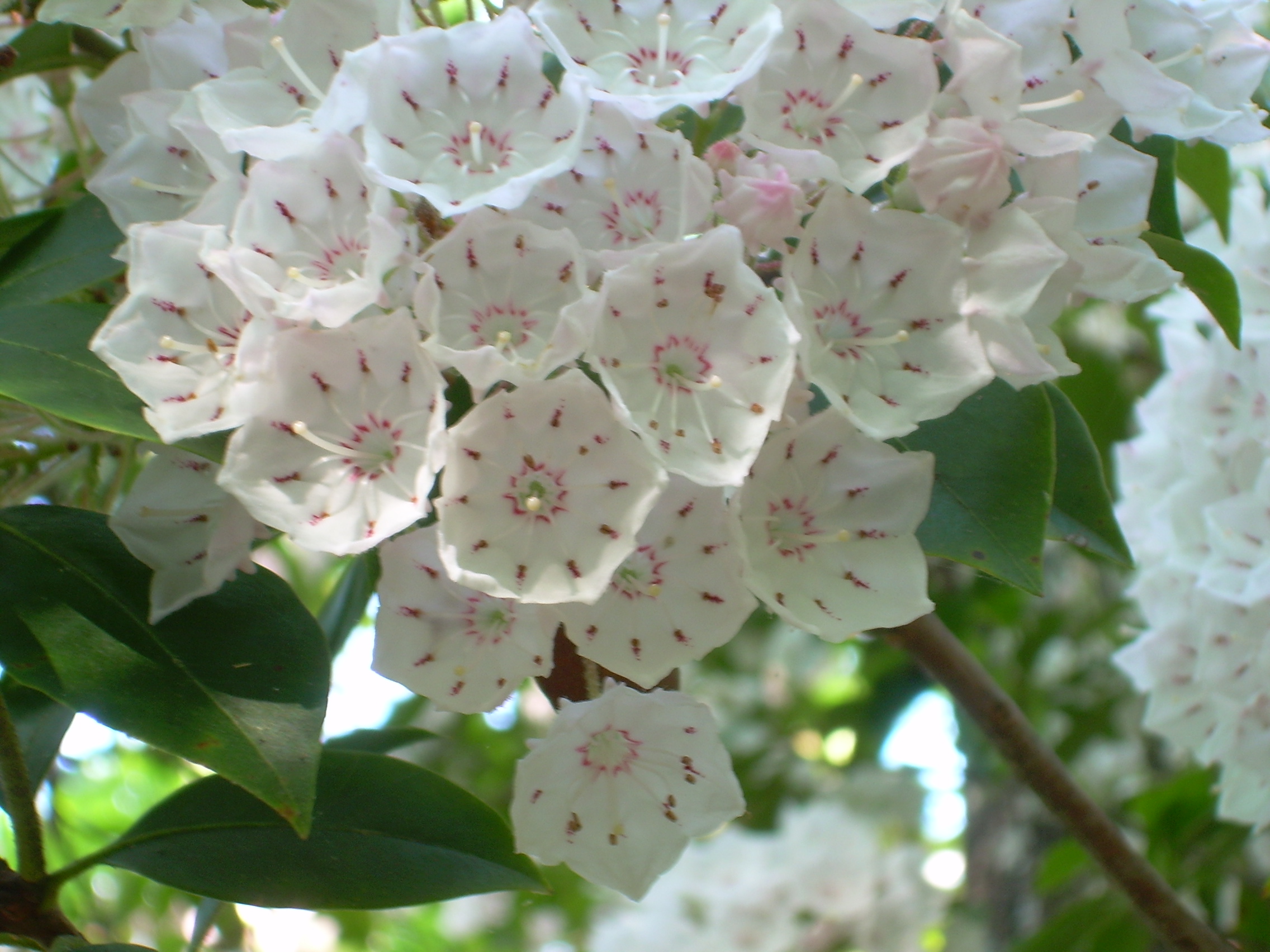
May 22, 2011 (6 miles) Our starting point was at the end of the “Road to Nowhere” which today is officially named Lakeview Drive. The backpack trip kicked off with a walk through a tunnel (the tunnel to Nowhere?) The Tunnel to Nowhere is a quarter mile long and, I guess, a part of the Bear Creek Trail. We didn’t need headlamps but we did have them out just in case. It was a warm, sunny, 80 degree day with lots and lots of Mountain Laurel In full bloom with fragrant , white flowers in abundance.
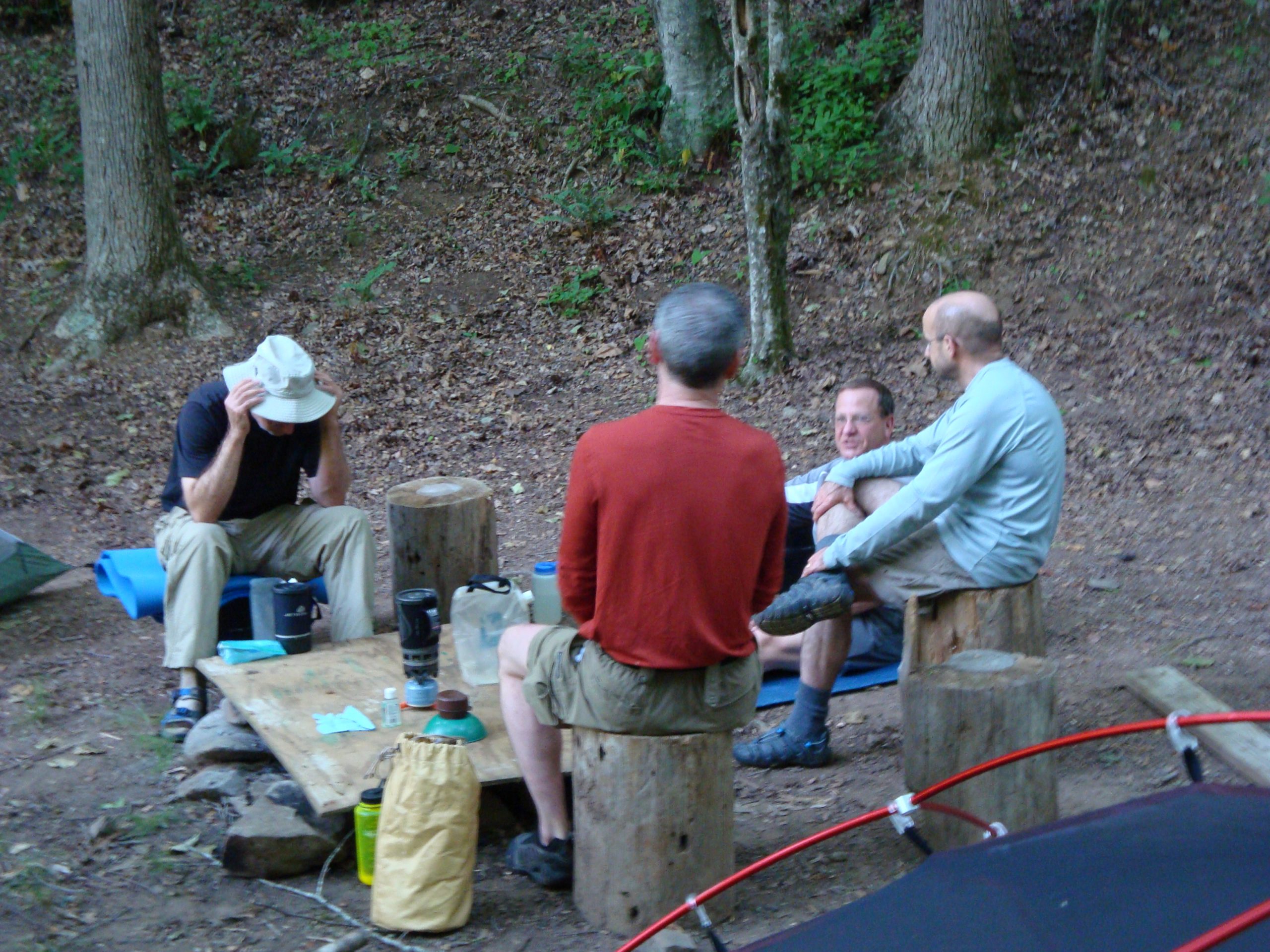
At one point we came to fork in the trail and since we were only using the National Park provided map we were unsure which trail to take. We took the trail ont he right. Come to find out that was a trail (1.5 miles long and lots of elevation gain) that lead to an old grave site. Afterwards we asked the ranger about it and he indicated that each year the families descendants come out and maintain the grave site. The trail is not marked because they don’t want lots of folks visiting it. Oh well. We camped for the night at Camp 75 which had numerous nice camping spots. We generally meet interesting folks on the trail and at this camp we meet two different ones. First, was a gentleman from Russia who was an Economics Professor at an American college who was carrying a full size video camera with a microphone. He was recording the stories of other backpackers and recorded Carl telling about the bear attack in the Tetons. The individual was wearing a bright green hi-tech t-shirt from the Cellcom Marathon that had been conducted in Green Bay WI the previous weekend. Upon questioning he indicated that he had indeed been in Green Bay and had run the marathon. Small world as all of us are from Green Bay AND Carl had run the same race!
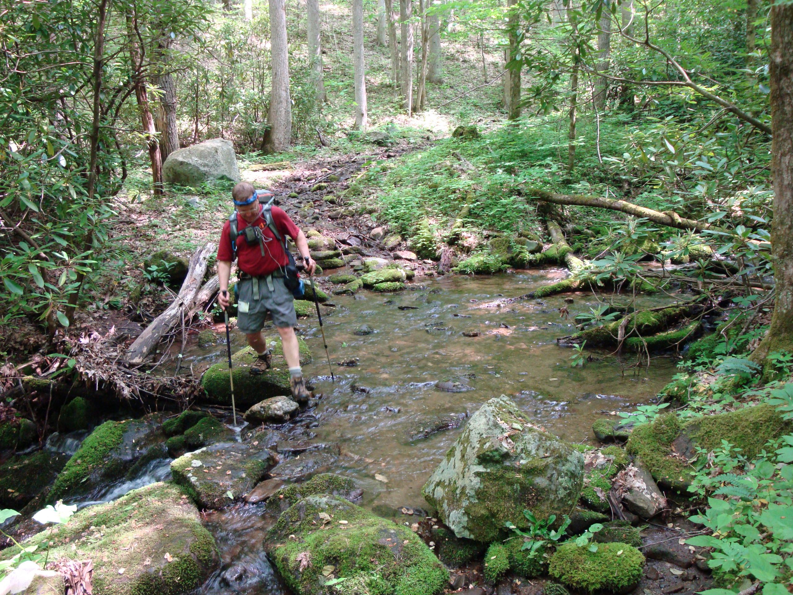
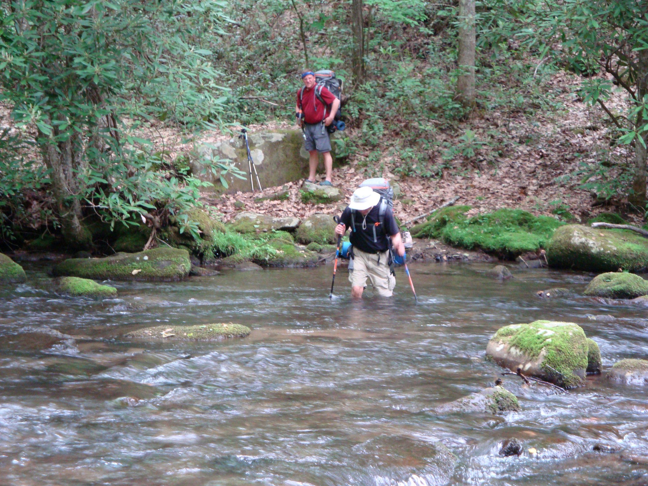
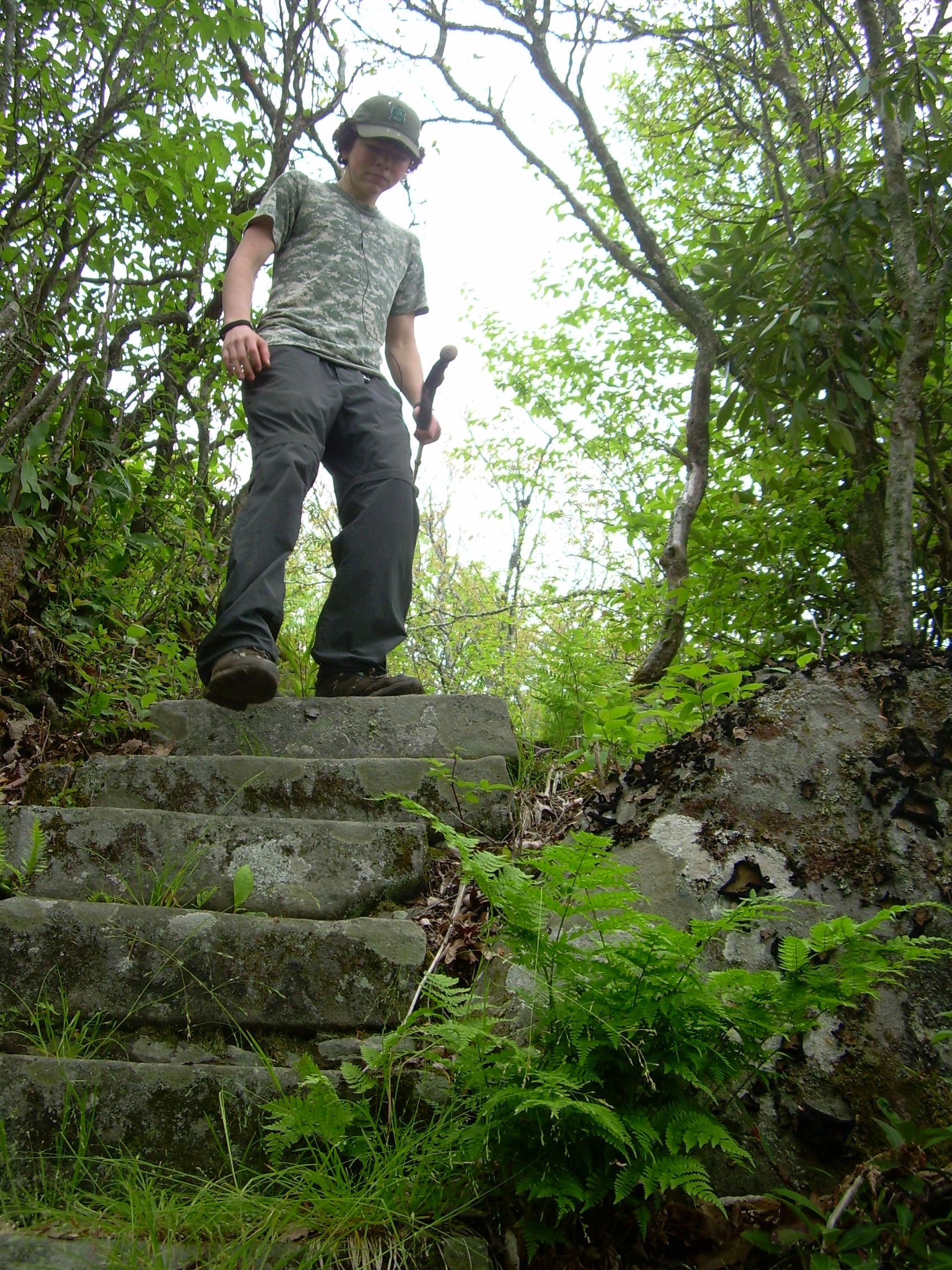
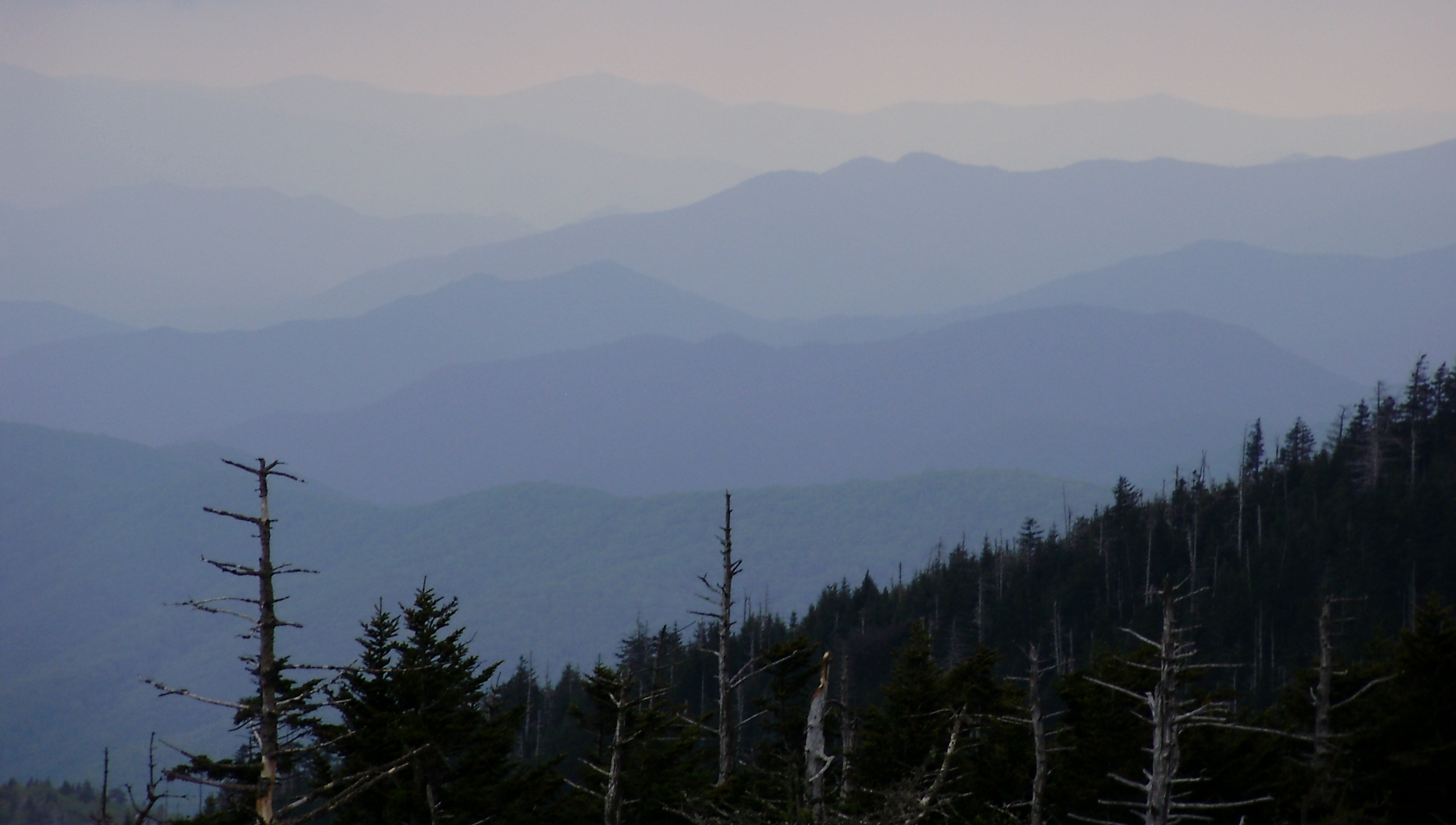
May 23, 2011 (10 miles) We hit the trail at 7:20 AM with a very humid, 62 degree temperature and went uphill for most of the morning. When Bear Creek Trail connects with Welch Ridge Trail we headed south until it connected with Cold Spring Gap Trail. We took the side hike to the “High Point”. It was only 1/4 mile but, unfortunately, we were in the clouds when we arrived so there were no views. There were two interesting events during the day. First was a thigh deep stream crossing of Hazel Creek. The water crossing wasn’t really dangerous but we did stop, change out of boots into foot gear better suited for water, and went across one at a time. Secondly, Mark’s plastic buckle used to secure his hip belt broke. Mark tried several different methods of jerry rigging the buckle until he settled upon using an extra strap one of us was carrying. This ended up not being as big a deal as it might have been. Spent the night at Camp 82 at the horse camp.
May 24, 2011 (12 miles) The first half of the day was spent hiking in overcast weather along Hazel Creek on the Hazel Creek Trail. We spent our lunch break at the ghost town of Proctor which was in existence from 1904 until 1944 as a sawmill town. The town was situated very near Fontana Lake and the Lakeshore Trail – our next trail. We headed off after lunch full of energy and missed one small sign. This resulted in a ¾ mile wrong-direction hike that ended in Fontana Lake – literally. The lake was very high from previous rains and we thought that our trail had disappeared into the water and came out around a corner. After watching a snake swim across the inlet, Ed volunteered to check it out and went around the corner but stopped when the water got chest deep and showed no signs of getting shallower. We decided to backtrack to Proctor, found the sign we missed initially and got back on track. We spent the night at Camp 81 and were lucky enough to be able to go swimming in the lake. It is always very refreshing.
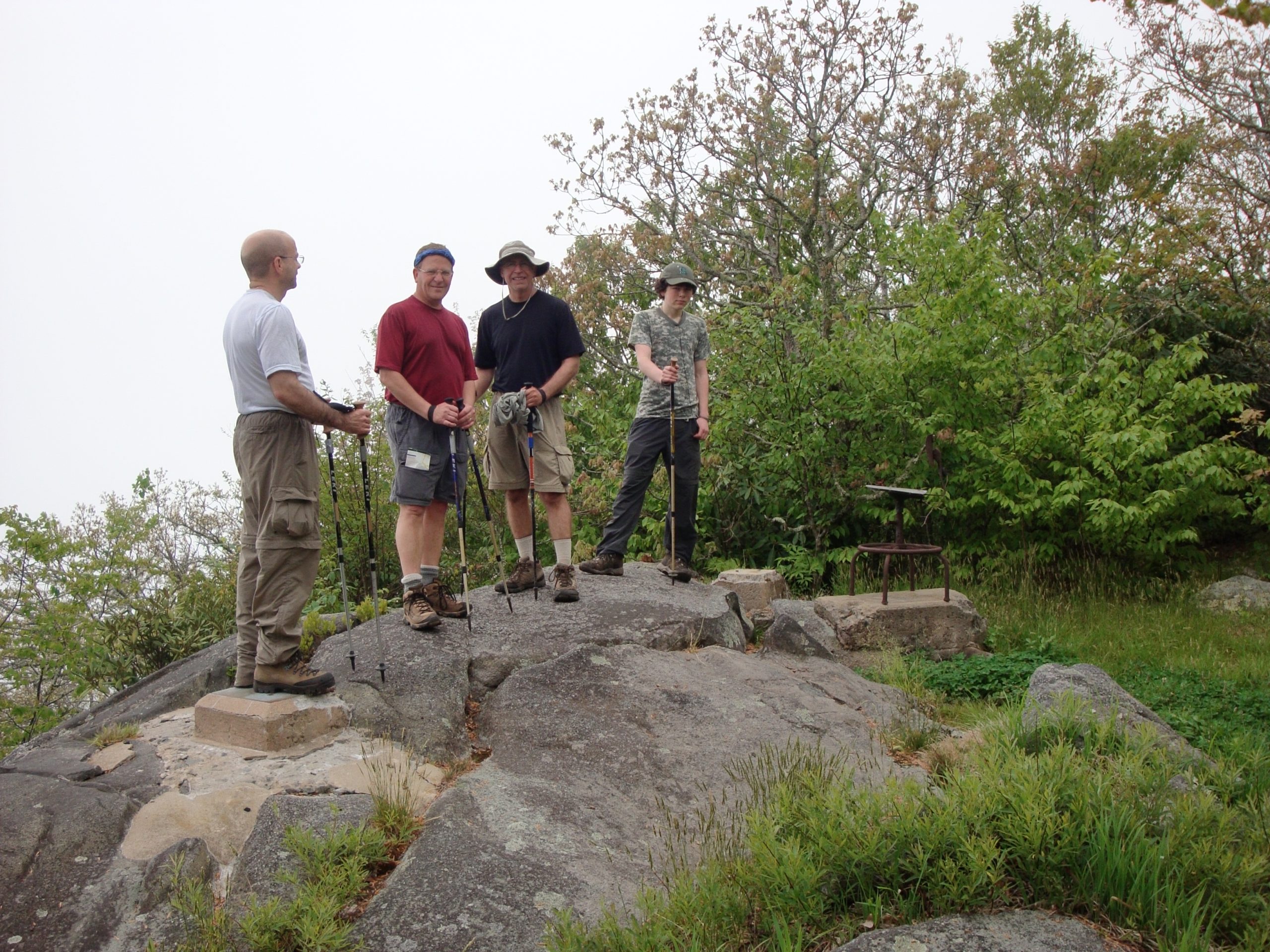
5 May 26, 2011 (10 miles) The hiking was mainly uphill as we gained 1000 feet in elevation. As is normal when heading for the car we didn’t waste much time along the trail and we were back at the car at 1:00 PM. We loaded up and headed for Klingman’s Dome which is the high point in the state of Tennessee. We had no rain while backpacking but as soon as we finished at Klingman’s Dome and loaded up it just let loose. We were happy to be in the car and not on the trail.