An easy, relaxing hike with very little elevation change and nice tread.
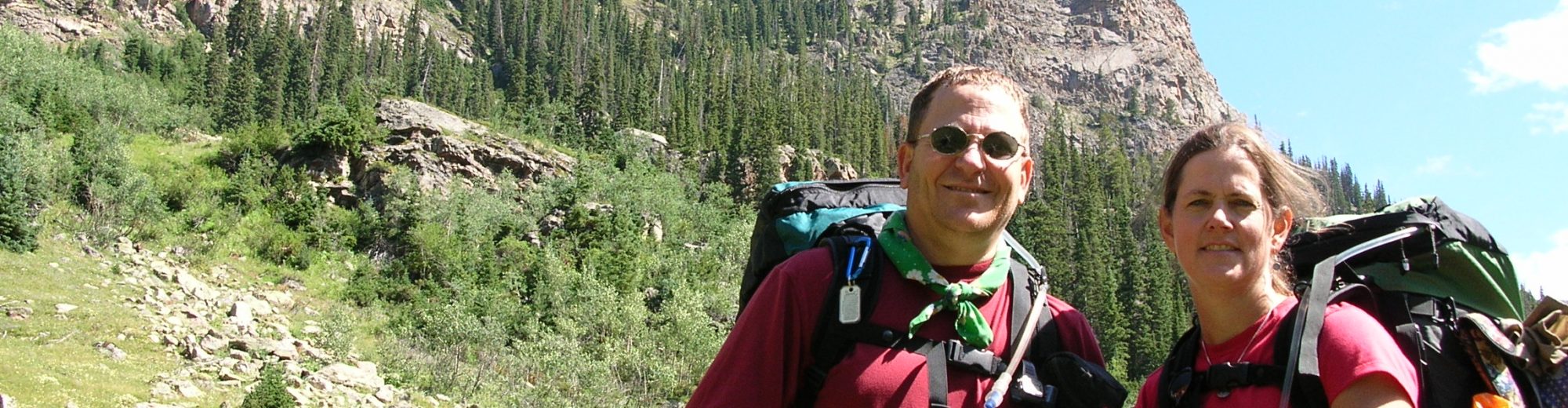
Backpackers: Lori Fisher and Carl Fisher
June 22, 2016 – Miles: 5.0 We started off on the south bound trail closest to the water which was not the “formal” trail but the one that law enforcement ranger directed us to use. The walk was mainly flat with no views of Lake Michigan which surprised us. We found a camp site ½ miles south of Fredrickson Place, away from everyone next to a big rock, and walked the lake shore at sunset.
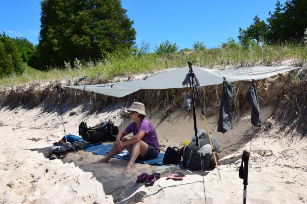
June 23, 2016 – Miles: 11 We hit the trail later, like 9:00AM, because we have a lot of time since the sun didn’t set until 9:30PM. We hiked past the boy scouts then decided we needed water to dry camp so we headed for Cresant Dock. We found a very nice lake shore where we set up a shelter (from the sun), had lunch, got water, and had a swim (Carl). We decided to have an adventure so we walked north on the lake shore for about a mile, scaled a massive sand cliff which ended up being 2 steps up and 1.5 steps backward. This was then followed by bushwacking due East using the compass to find the trail. This was much tougher with more up and down than we had expected. We then missed the turn off for Pot Holes and had to double back for ½ mile and never found the Pot Holes. We continued on nice, flat trail until Bermen’s Place.
June 24, 2016 – Miles: 3 We got up at 8:00AM and walked to Lake Manitou which was nothing special. We arrived to the boat dock at 9:45AM plenty early for the ferry ride back to the mainland. We had bright, sunny weather all 3 days which were bug free except for Day 2.