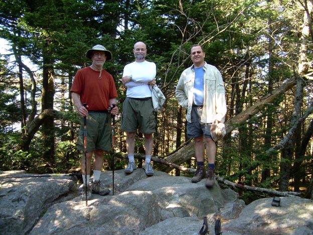
This hike is on the Iron Mountain, Appalachian and Virginia Creeper trails. The elevation changes are not too tough but there is a bunch of them. There were not many views but we reached the high point of Virginia.
Backpackers: Carl Fisher, Ed Tucker, John Gundry, Brian Lewis
May 7, 2007 (12 miles) – We got a late start (9:45 AM) after waiting the day before in Charleston WV for Brian’s gear to arrive from Seattle WA. He made it but his bags didn’t so we spent the night near the airport and picked up the bags at 5:30 AM and then made the 3 hour drive to Damascus VA. Damascus is a small, quaint town that caters to hikers. The police department had us register the car so they could check on it. Our initial hike is along the Iron Mountain Trail, with yellow blazes, which was part of the Appalachian Trail until the early 1970’s. The first half of the day (about 6 miles) was a gentle, but unrelenting uphill hike that then turned into a nice stroll along Feathercamp Ridge. We ended the day at the Straight Branch shelter. For the entire trip we stayed near the shelters but we did not did not sleep in the shelters. Using the picnic tables for meals made dinner time more comfortable.
May 8, 2007 (16 miles) – Shortly after starting our hike this morning we left the Iron Mountains Trail and picked up a connector to the Appalachian Trail. This trail was primarily uphill on a horse trail that was in poor condition which made for difficult hiking. After going through Rhododendron Gap we encountered numerous wild horses. Unfortunately, the Rhododendron’s were not in bloom. We ended the day at Thomas Knob shelter where we met several thru-hikers who had started hiking the AT the last week in March in Georgia. Just before arriving at the shelter we had our first views of the entire trip. After finding our camping spot for the night we walked another 1/2 mile to summit the high point of VA – Mount Rogers. There are no views from Mount Rogers.
May 9, 2007 (20 miles) – At 4:00 AM there was a light rain and we woke up in the clouds with everything wet so we decided to pack up and to hike out of the clouds before having breakfast. Fortunately most of the miles today were downhill, given how many miles were planning to hike. The wind almost blew us over as we crossed Deep Gap. At the Lost Mountain shelter in the afternoon we met a couple of local hikers who were full of stories. One of them asked if we had ever heard of FOG, his hiking partner? It was obvious from our confused looks that we hadn’t so he explained the FOG was for F*cking Old Geezer. Now we have a trail name for Ed! While most of the miles were downhill today, the last 2-3 were uphill. Our group was the last to arrive at the Saunders shelter at 6:30 PM after being on the trail for almost 12 hours!
May 10, 2007 (9 miles) – Another day of mainly downhill. John was having minor knee problems due to all the downhill so we decided to leave the AT and do the last 6 miles on the Virginia Creeper Trail. Since the trail is part of the “rails to trails” program the hiking was very easy with no up or down. We reached the car at 10 AM.

